When you see a red box flash on a weather map, it signals a tornado watch — a high-stakes forecast issued with precision, urgency, and scientific rigour. But what exactly goes into declaring a Tornado Watch? Who decides when, where and why it’s needed?
Let’s step inside the process and break down how tornado watches are issued, updated, and managed behind the scenes.
🧠 Who Issues a Tornado Watch?
In the United States, tornado watches are issued by the Storm Prediction Center (SPC), a division of the National Weather Service (NWS) located in Norman, Oklahoma. Their job is to monitor broad regions of the country and identify areas where conditions are favourable for the development of tornadoes and other severe convective storms.
Each tornado watch covers a large geographical area — typically 20,000 to 40,000 square miles — and lasts between 6 to 9 hours (though it can extend to 12 during tropical systems or slow-moving fronts).
📦 What’s in the Watch Box?
The SPC uses a tool called WarnGen (integrated in N-AWIPS) to draw a quadrilateral “watch box” that represents the affected region. These boxes are described using directional references like:
“50 miles either side of a line from 10 miles northeast of Columbia, SC to 15 miles south-southwest of Montgomery, AL.”
Inside this area, the environment is being closely watched for conditions that favour tornadic development — including moisture, instability, wind shear, and lifting mechanisms like fronts or drylines.
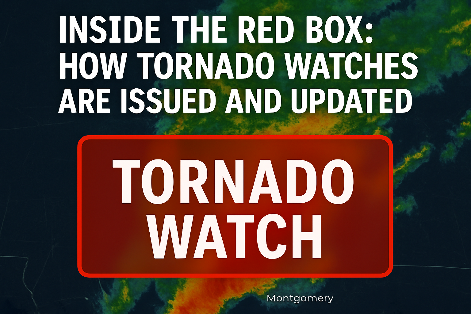
🔴 Why It’s Called a “Red Box”
Meteorologists often refer to tornado watches as “red boxes”, because that’s how they’re coloured on SPC hazard maps. However, local TV stations may use different colours (yellow, purple, etc.) in their graphics. Confusing? A little. But professionals rely on the term red box as shorthand for heightened tornado risk.
🛑 Not Every Tornado Watch Is the Same
When conditions are especially dangerous, the SPC may issue a PDS Tornado Watch — a “Particularly Dangerous Situation”. This label means forecasters are highly confident that the environment will produce multiple strong to violent tornadoes (EF2 or stronger), along with destructive winds and hail.
PDS watches are rare — accounting for only about 3% of tornado watches each year — but they almost always precede major outbreaks. The language used in these watches is elevated and direct, warning of life-threatening conditions and widespread damage.
📈 Probabilities and Risk Language
Each tornado watch comes with a Public Watch Product, which includes:
-
A breakdown of primary hazards: tornadoes, wind gusts, hail
-
Probability tables: chance of multiple tornadoes, strong tornadoes, and damaging winds
-
A summary of expected storm behaviour, motion vectors, and aviation concerns
For example, a standard tornado watch might state:
“Several tornadoes and a couple intense tornadoes likely.
Widespread damaging winds to 70 mph likely.
Isolated very large hail events to 2 inches possible.”
This language helps emergency managers, pilots, and broadcasters quickly assess the threat level.
🛰️ How Watches Are Disseminated
Once issued, tornado watches are broadcast via:
-
The SPC website and social media
-
NOAA Weather Radio
-
Local TV and radio
-
Emergency alert systems (EAS, WEA, etc.)
-
Weather apps and online platforms
They are also distributed through coordination with local NWS Weather Forecast Offices (WFOs), which handle finer-grained communication like specifying which counties are inside the watch area.
🔄 Updating and Canceling a Watch
As conditions evolve, the SPC may issue:
-
Watch Status Messages: highlighting zones where the threat continues
-
Watch Outline Updates (WOU): adjusting the affected area or end time
-
Watch Replacements: switching to a severe thunderstorm watch if tornadic risk fades
-
Cancellations: if no storms form (known as a “watch bust”)
Local forecast offices also issue Watch County Notifications (WCN) to fine-tune coverage and determine when to drop counties from the active watch.
🧩 A Complex Puzzle Behind a Simple Box
Behind every red box is a multi-layered system of real-time data, predictive modeling, meteorological expertise, and local coordination. Tornado watches are not issued lightly — they represent the best scientific assessment of an evolving threat, designed to give people time to act before warnings are issued.
So the next time you see that red box appear, know this: it’s more than a shape on a map — it’s the product of a nationwide network working together to keep you safe.